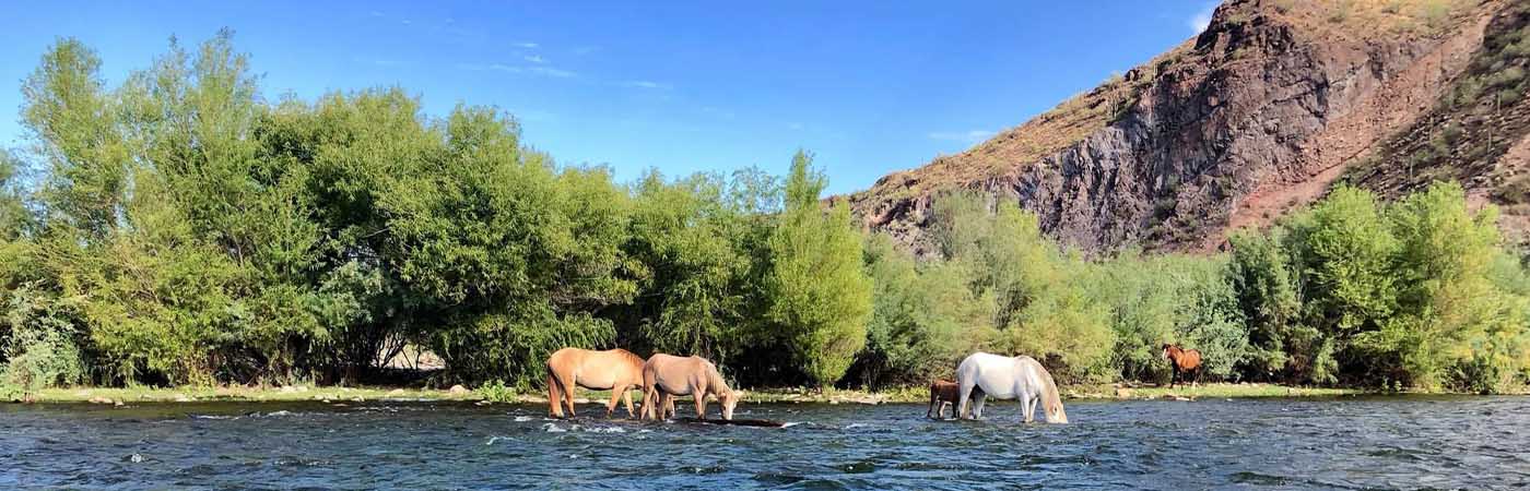
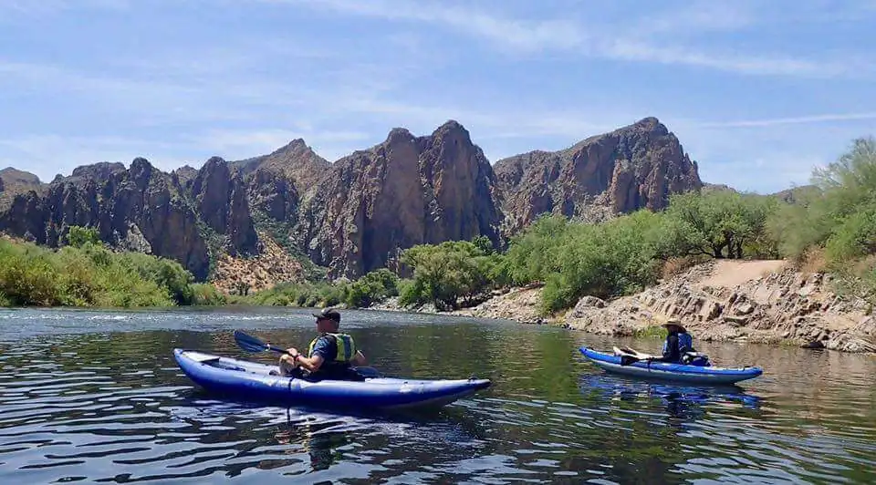
The Lower Salt River
The best time to paddle the Salt River is May through October when the average water flow is 500 cfs to 1500 cfs. If you are paddling from the top of the river at Water Users launching point down, we prefer a minimum of 600 to 700 cfs to help with navigating through or around Pinball Alley.
During the off season, an option may be to try a short paddle down the Salt from Phon D Sutton to Granite Reef if the lower Verde River is flowing.
Arizona River Flow FAQs
What flow is best for paddling the Lower Salt River?
For many recreational paddlers, the Lower Salt River is most enjoyable around 500–1500 cubic feet per second (ft³/s). Below about 300–400 ft³/s the river can be shallow and dragging is common. Higher flows increase speed and current strength, which may be better suited for experienced paddlers.
u003cstrongu003eIs the Salt River safe to paddle at low flow?u003c/strongu003e
Low flow on the Salt River can still be paddled, but expect shallow water, exposed rocks, and occasional dragging. Low flows are generally slower and calmer, but may be less enjoyable for long trips. Always match conditions to your experience level and equipment.
How fast does the Salt River move at different flow levels?
River speed increases as flow rises. At lower flows, the Salt River moves slowly with a gentle current, while higher flows move significantly faster and reduce reaction time. Channel shape, wind, and river bends can also affect speed, so conditions may vary by stretch.
What does gage height mean on the Salt River or Verde River?
Gage height, also called stage, is the water level measured at a specific USGS gaging station. It shows how high the water is at that point, but does not directly describe paddling difficulty. Gage height is best interpreted together with streamflow (ft³/s).
Why do Salt River flows change so quickly?
Salt River flows can change rapidly due to dam releases, storms, or upstream runoff. Flow levels may rise or fall within hours, so it’s important to check current data, recent trends, and alerts before heading out.
Does wind affect paddling on the Salt River and Verde River?
Yes. Wind can significantly affect paddling conditions, especially on open stretches of the river. Sustained winds around 15–20 mph or strong gusts can make paddling difficult or unsafe, even when the river flow looks favorable.
Do I need special permits to paddle the Salt River or Verde River?
Some access points on the Salt River and Verde River require parking passes or permits, depending on the land manager and season. Always check local regulations and launch point requirements before your trip.